


The Ultimate Guide to Global Shipping Data: 5 Key Insights
.jpg)
From Your Package to the High Seas
We’ve all done it: clicked the tracking link for a package and watched a tiny icon move across a map, bringing a long-awaited order closer to our doorstep. It’s a simple, satisfying view of modern logistics. Now, imagine that map expanding to cover the entire globe, and instead of one delivery truck, it's populated with thousands of massive ships, each a floating warehouse carrying enough goods to stock a small city, contributing to the 11 billion tons of cargo moved by sea each year.Behind every one of those moving dots is a vast, invisible world of data. This isn't just about location; it's a complex, high-stakes digital ecosystem that determines the flow of global trade, the cost of goods, and the efficiency of the entire supply chain. What are the hidden rules and surprising realities of this data-driven world? The simple answer is that the single dot on your tracking screen is just the beginning of a much deeper story.
1. Your Delayed Shipment Might Be Racking Up "Parking" and "Rental" Fees
When a shipment is delayed, the consequences go beyond just waiting longer. It can trigger a cascade of expensive fees known as Demurrage and Detention. These charges are governed by a critical window of time called "Free Time"—typically a few days that a shipping line gives an importer to pick up a container from the port and return it empty.If you miss this window, the penalties begin, and it’s helpful to think of them with an analogy:
Demurrage is like a "parking fee." It's charged when a full container sits at the port or terminal, taking up valuable storage space after the free time has expired. The fees are assessed for each day the container remains there until it's picked up.Detention is like a "late fee" for the equipment. This is charged when you fail to return the empty container to the shipping line on time after you've picked it up and unloaded its contents.These fees aren't just minor inconveniences; they can accumulate rapidly. Delays caused by incorrect customs paperwork, unexpected port congestion, labor issues, or even extreme weather events can lead to thousands of dollars in charges. This highlights the intense time pressure and financial risk embedded in every step of the global supply chain, where every day—and every container—counts.
2. Every Commercial Ship Has a Permanent ID for Life
While a ship might change its name, owner, or national flag multiple times over its decades of service, one thing stays constant: its International Maritime Organization (IMO) Ship Identification Number. Think of it as a ship's unique, permanent "social security number" that is assigned at construction and remains with it from "cradle to grave."Managed by S&P Global on behalf of the IMO, this seven-digit number (six sequential digits plus a final check digit) is a cornerstone of maritime regulation. It became mandatory in 1996 for passenger ships over 100 gross tonnage (GT) and cargo ships over 300 GT, and its application has since expanded, first to fishing vessels of 100 gross tonnage and above in 2013, and later to all motorized inboard fishing vessels down to 12 metres in length, creating a more comprehensive system of accountability on the high seas. This permanent identifier is critical for enhancing safety, security, and environmental protection. In a global industry where assets are constantly moving and changing hands, the IMO number ensures that a vessel can always be tracked and held accountable, no matter its current name or operator. As the demand for these numbers grows, there is even a proposal being considered to increase the format to 8 or 10 digits to ensure the system can be sustained well into the future.
3. A Real-Time "Digital Twin" of the Global Fleet Exists Right Now
At any given moment, a near-real-time digital map of the world's commercial fleet is being broadcast for anyone with the right receiver to see. This is made possible by the Automatic Identification System (AIS), a technology that turns the global fleet into a massive, interconnected network. The result is what experts describe as a "firehose of AIS messages"—a constant stream of data from tens of thousands of vessels.This data stream is composed of two primary message types:
Dynamic Reports: Broadcast every few seconds, these messages contain a vessel's real-time position (latitude and longitude), speed over ground, course, and heading. This is the data that powers the moving dots on live shipping maps.Static Reports: Broadcast every few minutes, these contain fixed information about the vessel itself, such as its name, its permanent IMO number, its destination, and its ship type.Together, these broadcasts create a powerful 'digital twin' of the global fleet—a near-perfect virtual replica of physical ships, updated in real-time. This allows coastal planners, logistics experts, and regulatory bodies unprecedented insight into marine transportation patterns, enabling them to monitor ship movements, manage port traffic, and enhance navigational safety.
4. This High-Tech Tracking Data Is Surprisingly Messy
With all the advanced technology involved, it's easy to assume that AIS data is perfectly clean and accurate. However, the reality is that this high-tech data stream is surprisingly messy and requires significant quality control before it can be trusted for serious analysis. The NOAA Office for Coastal Management even provides a dedicated software "Clean Toolbox" specifically to address these issues.Common sources of error in raw AIS data include:
Human Error: Vessel operators are responsible for manually entering static data like the ship's destination or dimensions. They may input information incorrectly, fail to update it, or disregard its importance.
Faulty Equipment: A malfunctioning GPS or AIS transmitter can lead to errors in dynamic data like speed or position.
Duplicate Entries: In busy areas, a single broadcast from a ship might be picked up by multiple land-based receivers, creating duplicate records in the database that need to be removed.
Impossible Data Points: The raw feed can contain nonsensical data, like a cargo ship reporting a speed of 100 knots or a position hundreds of miles inland. These obvious errors must be filtered out before any analysis can begin.This is a crucial takeaway for anyone working with maritime data. It highlights the vast difference between raw data and usable intelligence. Even in a system as sophisticated as AIS, data must be cleaned, filtered, and validated before it can reliably be used to generate vessel tracks, calculate densities, or make critical logistical decisions.
5. We Can Use This Data to Predict the Future of Global Trade
The true power of AIS data extends far beyond simply tracking where a ship has been. By analyzing historical and real-time data streams, analysts can build powerful predictive models that help optimize the future of global trade. This transforms AIS from a reactive tool into a proactive one.Modern maritime data platforms, like those offered by SeaVantage, use this information to:
- Forecast Arrival Times: By analyzing a vessel's current speed, course, and historical performance, APIs can provide a highly accurate expected time of arrival (ETA) at its destination port.
- Calculate Optimal Sea Routes: Logistics planners can use APIs to calculate the most efficient maritime route between any two points on the globe—whether from port to port, or from a port to a specific offshore coordinate like an oil rig—helping to estimate voyage times and fuel costs.
- Predict Port Congestion: By monitoring the number of vessels waiting at anchorage and the median time they spend in port, it's possible to measure and even predict congestion levels at specific ports. This allows companies to anticipate delays and adjust their schedules accordingly.This predictive capability is what makes AIS data so valuable. It allows shipping companies, port authorities, and logistics managers to move beyond just observing traffic and start actively managing it, helping to make the world's incredibly complex supply chains more efficient, reliable, and resilient.
The Unseen Data in Every Product
The journey of every product we use, from a smartphone to a bunch of bananas, is underpinned by a vast and dynamic stream of data. The simple icon of a ship moving across a digital map is merely the surface of a deep and complex information ecosystem. Behind that icon is a world of permanent identities ensuring accountability, messy data streams that require careful cleaning, and powerful predictive analytics that turn historical patterns into future strategies.This hidden data world is the engine of global commerce, silently navigating logistical challenges, financial penalties, and technological quirks to keep goods moving across our oceans. So the next time you track a package, take a moment to imagine the invisible data streams—the digital twin sailing a virtual ocean, the constant threat of costly delays, and the predictive algorithms charting its course—that are all working in concert to bring that simple dot on a map to your front door.
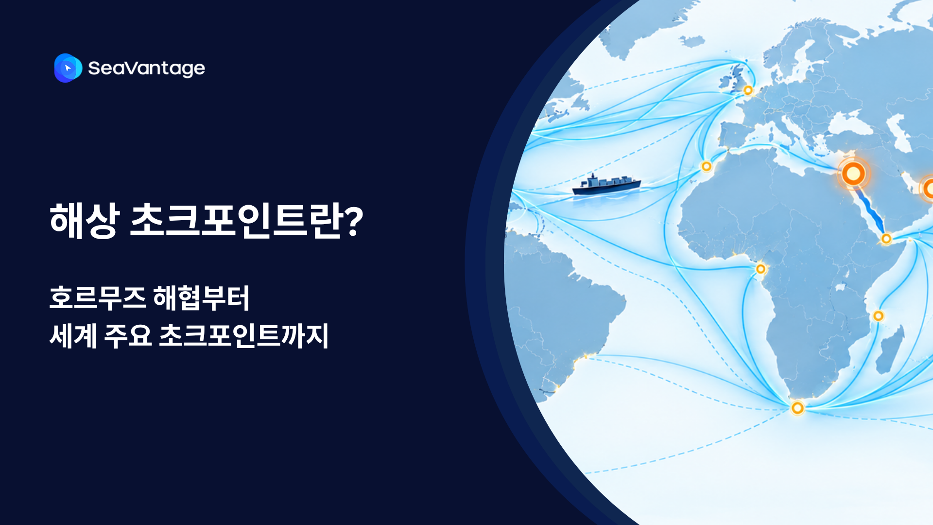

팬스타 아크로호가 지난 8월 22일 북극항로 시범운항을 시작했습니다. 국내 최초 컨테이너선 북극항로 운항 현황과 상업성 검증 항목, 화주·포워더가 주목할 사항을 정리합니다.
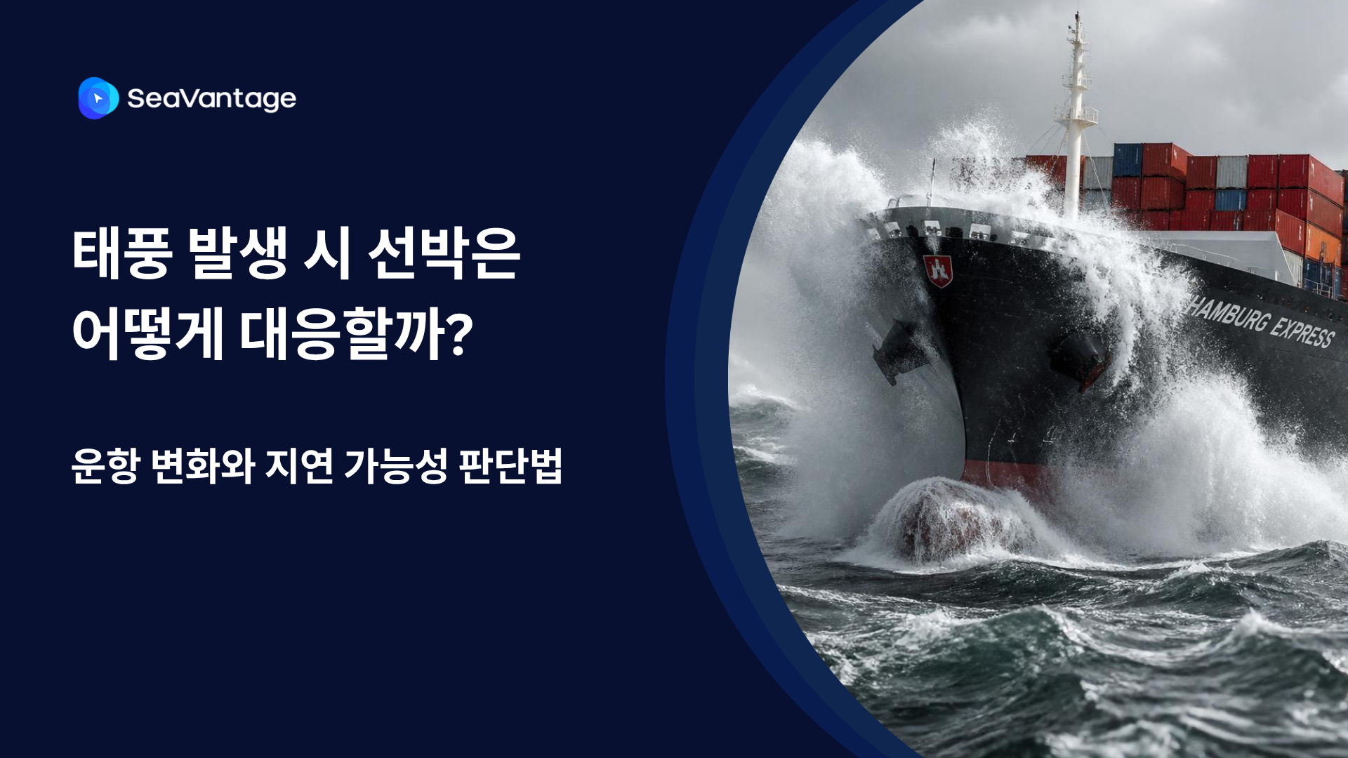
태풍 발생 시 선박은 우회·감속·대기 등 서로 다르게 대응합니다. AIS 항적과 ETA·PTA·PTB, 항만 혼잡 데이터를 활용해 해상운송 지연 가능성을 판단하는 방법을 알아보세요.
Need a SeaRates alternative? See how SeaVantage Cargo Insight supports container tracking, predicted arrivals, shipment milestones, and API access.
TPEB rates 2026, Indian Subcontinent ocean freight capacity, Strait of Hormuz shipping disruption, schedule reliability ocean carriers
What's driving ocean freight peak season 2026 — rates, surcharges, booking windows, and how to avoid missed inventory deadlines.

.png)


