


Top 10 Most Common Maritime API Questions (Rate Limits, Timestamps, Vessel Lists & More)
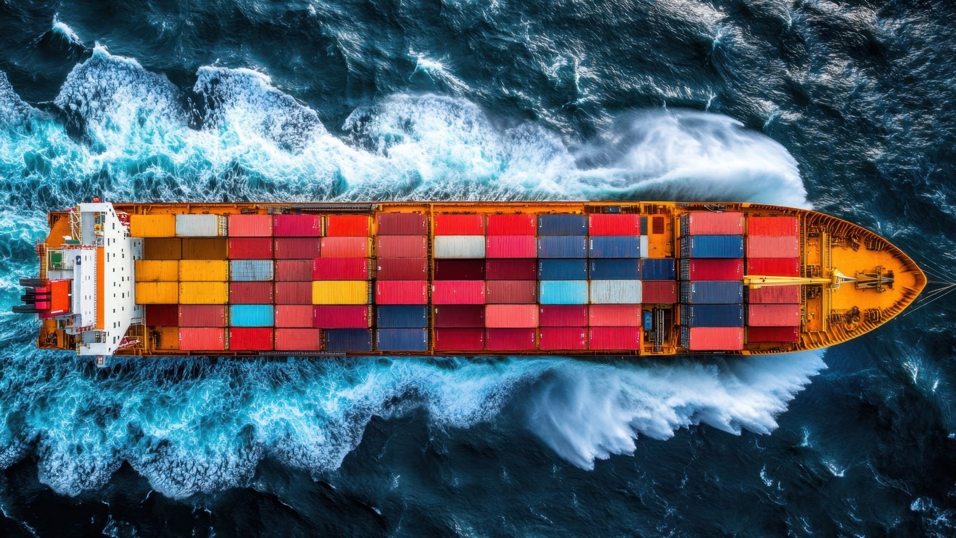
In today's data-driven logistics landscape, the demand for instant, accurate maritime information has never been higher. A powerful vessel API is the engine that drives modern supply chain visibility, allowing businesses to integrate live shipping data directly into their own systems. However, diving into the world of maritime data can bring up a lot of questions for developers and product managers alike.
From understanding rate limits to decoding vessel identifiers, knowing the fundamentals of a maritime API is crucial for building robust and reliable applications. This guide answers the top 10 most common questions we hear, providing the clarity you need to leverage maritime data effectively in 2025.
What Exactly is a Vessel API?
An API, or Application Programming Interface, is a set of rules that allows different software applications to communicate with each other. A vessel API is a specialized API that provides programmatic access to a vast database of maritime information.
Instead of manually tracking ships on a map, a vessel API allows your developers to request and receive data automatically. This enables you to build custom dashboards, automate alerts, and enrich your existing logistics platforms with live intelligence. For a step-by-step walkthrough, see our guide on how to integrate a real time vessel tracking API
What Kind of Data Can I Get from a Maritime API?
A comprehensive maritime API provides a wide range of data points that are essential for real time supply chain visibility. Key data types include:
- Real Time Position: Live latitude and longitude coordinates.
- Vessel Particulars: Static details like the vessel's name, IMO number, MMSI, vessel type, and dimensions.
- Voyage Information: Dynamic data such as current speed, heading, destination, and the provider's calculated Estimated Time of Arrival (ETA).
- Port Call History: A record of the ports a vessel has visited.
- Schedule Data: Information on future voyages and planned routes.
How is the Vessel Data Collected?
The primary source for real time vessel tracking is the Automatic Identification System (AIS). AIS is a global standard that requires vessels to broadcast their identity, position, course, and speed to other ships and receiving stations. A high quality maritime API provider aggregates data from two main AIS sources:
- Terrestrial AIS: A network of land based receivers that collect data from vessels near coastlines.
- Satellite AIS (S-AIS): Satellites that capture AIS signals from vessels in open oceans, far from land.
The best API providers then cleanse, enrich, and fuse this data to provide a single, accurate, and uninterrupted data stream.
What are API Rate Limits and Why Do They Matter?
Rate limits are restrictions that an API provider places on the number of requests a user can make within a specific timeframe (e.g., 100 requests per minute). This is a standard practice for any API and serves two main purposes:
- To Ensure Stability: It prevents any single user from overwhelming the system, ensuring high performance for everyone.
- To Prevent Abuse: It protects the service from malicious or poorly designed applications.
Before integrating, always check the API documentation to understand the rate limits and ensure they align with your application's needs.
How Do I Get a List of All Vessels or Vessels in a Specific Area?
A well designed maritime API will offer flexible ways to query for vessel data. This is typically done through different "endpoints" or by using specific parameters in your request. Common methods include:
- Querying by Bounding Box: You can specify geographic coordinates (a "box") to receive data only for vessels currently within that area, such as a specific China port.
- Requesting a Fleet List: Some APIs have a dedicated endpoint to fetch details for a predefined list of vessels you are interested in tracking.
What is the Difference Between an IMO Number and an MMSI?
While both are unique identifiers, they serve different purposes.
- IMO Number: The International Maritime Organization assigns a unique seven digit number to each vessel upon construction. This number stays with the ship for its entire lifespan, regardless of changes in owner, flag, or name. You can learn more at the IMO's official site.
- MMSI (Maritime Mobile Service Identity): This is a nine digit number used for radio communications, including AIS. An MMSI can change if a vessel is re-registered under a new country's flag.
Using the permanent IMO number is the most reliable way to track a specific vessel over its lifetime.
How Up to Date is the Data? What Do Timestamps Mean?
In maritime logistics, freshness is everything. A good API provides data that is as close to real time as possible. Every piece of positional data should come with a timestamp. This tells you the exact time the vessel's position was last reported.
The delay, or latency, can vary depending on whether the signal was received by a terrestrial or satellite station. A top tier vessel API minimizes this latency to provide the most actionable and current data.
What Format is the Data Delivered In?
The vast majority of modern APIs, including maritime APIs, use JSON (JavaScript Object Notation) to deliver data. JSON is the industry standard for several reasons:
- It is lightweight and easy for computer systems to parse.
- It is human readable, making it easier for developers to work with.
- It is supported by virtually all modern programming languages.
For more on the format, developer resources like the MDN Web Docs are a great place to start.
How Do I Handle Historical Vessel Data?
While real time data is crucial for operational decisions, historical data is invaluable for analysis. Many API providers offer dedicated endpoints to access historical vessel tracks. This data can be used to:
- Analyze past route performance and identify inefficiencies.
- Investigate the cause of shipping delays.
- Build predictive models for future voyage planning.
What Makes a Good Vessel API?
Not all APIs are created equal. When evaluating a provider, look for these key indicators of quality:
- Data Accuracy and Coverage: Ensure the provider uses multiple data sources (terrestrial and satellite AIS, carrier data) and offers global coverage.
- Reliability and Uptime: The API should be stable and consistently available to support your mission critical applications.
- Excellent Documentation: Clear, comprehensive, and easy to follow documentation is essential for a smooth integration process.
- Scalability: The API should be able to grow with your business and handle an increasing volume of requests.
- Responsive Support: Access to knowledgeable technical support is crucial when you need help.
Master Your Maritime Data with SeaVantage
Choosing the right vessel API is a critical step in building a truly connected and visible supply chain. By understanding these fundamentals, you are better equipped to select a partner that can deliver the speed, accuracy, and reliability your business

2026년 아시아 컨테이너선 정시 도착 신뢰도와 항만별 대기시간 데이터를 살펴봅니다. 항만 혼잡이 운항 일정과 화물 납기에 미치는 영향, 부킹 전후 화주와 포워더가 확인할 정보를 정리했습니다.
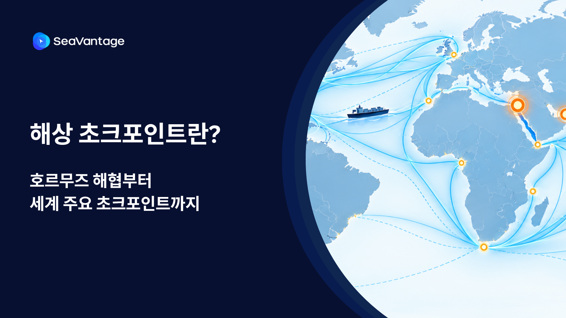

팬스타 아크로호가 지난 8월 22일 북극항로 시범운항을 시작했습니다. 국내 최초 컨테이너선 북극항로 운항 현황과 상업성 검증 항목, 화주·포워더가 주목할 사항을 정리합니다.

No single ETA is reliable alone. Reliability comes from carrier ETA plus an independent predicted arrival, live AIS, and port waiting data.
See how the SeaVantage Cargo Insight API puts container tracking in your own system — JSON to dashboard, plus screen embedding. A visual guide, no code needed.

Forwarders need one dashboard per client, not one login per carrier. What to check — and how SeaVantage Cargo Insight covers it.


