


Leveraging Weather Data for Smarter Vessel Tracking and Logistics
.jpg)
In the maritime industry, weather conditions play a crucial role in determining vessel operations' efficiency, safety, and cost-effectiveness. Weather can significantly impact shipping schedules, fuel consumption, and cargo safety, from unpredictable storms to strong ocean currents. Integrating real-time weather data with vessel tracking systems allows shipping companies to make informed decisions, optimize routes, and minimize risks.
In this blog, we’ll explore the importance of weather data in maritime logistics, the technologies enabling real-time tracking, and how leveraging this information can enhance efficiency, reduce costs, and improve overall operational safety.
The Importance of Real-Time Weather Data
Weather forecasting has always been an integral part of maritime navigation. However, modern data collection and real-time tracking advancements have revolutionized the industry. With weather data integration, vessels can now anticipate and mitigate challenges before they arise.
How Real-Time Weather Data Enhances Decision-Making
- Safer Navigation – Weather data helps captains and logistics teams avoid storms, high waves, and extreme weather events, reducing the risk of accidents.
- Fuel Efficiency – Choosing the optimal route based on weather patterns minimizes fuel consumption and cuts operational costs.
- Timely Deliveries – Understanding and forecasting adverse weather conditions allows for better scheduling, preventing delays caused by avoidable disruptions.
Technologies Integrating Weather Data and Vessel Tracking
Advancements in technology have made it easier to combine real-time weather data with vessel tracking systems. Some of the most significant innovations include:
- Automatic Identification System (AIS)
AIS is a vessel tracking system that uses transponders on ships to relay real-time information about location, speed, and route. The National Weather Service highlights how AIS data, when integrated with weather forecasting, enhances maritime decision-making and situational awareness.
- Satellite-Based Weather Monitoring
Organizations such as Spire Global and StormGlass provide satellite-driven maritime weather data, delivering insights on wave heights, wind speeds, and ocean currents. This allows shipping companies to optimize routes and avoid adverse conditions.
- AI and Machine Learning for Predictive Analytics
By analyzing vast amounts of weather and maritime data, AI-powered models can predict potential disruptions and recommend alternative routes, reducing delays and improving safety.
Benefits of Weather Data Integration
1. Optimizing Shipping Routes and Schedules
Real-time weather updates allow vessels to adjust routes dynamically, avoiding delays and reducing fuel consumption. Predictive analytics help shipping companies create more efficient schedules, minimizing disruptions.
2. Reducing Fuel Consumption and Emissions
Adapting to favorable weather conditions reduces unnecessary fuel usage. More efficient navigation leads to lower carbon emissions, supporting sustainability goals.
3. Enhancing Cargo Safety and Reducing Operational Risks
Protects cargo from damage due to rough weather. Minimizes the risk of accidents, ensuring crew and vessel safety.
Challenges and Considerations
Despite its advantages, integrating weather data into vessel tracking presents some challenges:
1. Data Accuracy and Reliability
Weather predictions, while highly advanced, still have limitations. Unexpected changes in conditions can impact accuracy.
2. Costs of Implementing Advanced Systems
Equipping vessels with state-of-the-art tracking and weather intelligence systems requires significant investment. However, the long-term savings in fuel and efficiency often outweigh the initial costs.
3. Training and Adoption
Crew members and logistics teams must be trained to interpret and act on real-time weather insights effectively.
Future Trends in Maritime Weather Data Utilization
As technology advances, the maritime industry is set to benefit from even more sophisticated weather-tracking systems. Some emerging trends include:
1. AI-Driven Weather Forecasting
Machine learning algorithms are improving the accuracy of weather predictions, allowing for more precise navigation planning.
2. Enhanced Satellite Data for Maritime Navigation
With continuous improvements in satellite technology, real-time weather insights are becoming more detailed and accessible to shipping companies worldwide.
3. The Role of IoT in Vessel Monitoring
Internet of Things (IoT) devices onboard ships collect real-time environmental and performance data, helping vessels respond dynamically to changing weather conditions.
Case Study: The Power of Maritime Weather Data
According to Spire Global, real-time weather data has been instrumental in optimizing vessel routes, ensuring ships can navigate safely and efficiently. By using satellite-based weather intelligence, maritime operators have reduced delays and improved fuel efficiency, demonstrating the value of integrating weather data with vessel tracking.
Conclusion
The integration of real-time weather data into vessel tracking and maritime logistics is transforming the industry. By leveraging weather intelligence, shipping companies can enhance safety, optimize fuel usage, and ensure on-time deliveries. With the continued evolution of satellite technology, AI, and predictive analytics, the future of maritime navigation looks smarter and more efficient than ever.
Would you like to explore how your shipping operations can benefit from real-time weather tracking? Talk to our team at SeaVantage.

팬스타 아크로호가 지난 8월 22일 북극항로 시범운항을 시작했습니다. 국내 최초 컨테이너선 북극항로 운항 현황과 상업성 검증 항목, 화주·포워더가 주목할 사항을 정리합니다.
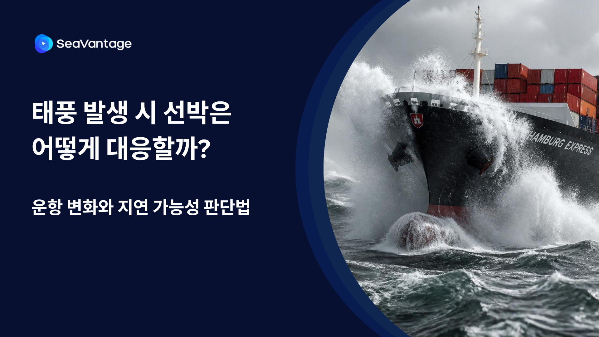
태풍 발생 시 선박은 우회·감속·대기 등 서로 다르게 대응합니다. AIS 항적과 ETA·PTA·PTB, 항만 혼잡 데이터를 활용해 해상운송 지연 가능성을 판단하는 방법을 알아보세요.
선사 ETA가 바뀌기 전에 일정 변동 가능성을 미리 파악할 수 있을까요? PTA와 ETA의 차이, 구간별 확인 방법, 실무 대응 시나리오 5가지를 소개합니다.
Need a SeaRates alternative? See how SeaVantage Cargo Insight supports container tracking, predicted arrivals, shipment milestones, and API access.
TPEB rates 2026, Indian Subcontinent ocean freight capacity, Strait of Hormuz shipping disruption, schedule reliability ocean carriers
What's driving ocean freight peak season 2026 — rates, surcharges, booking windows, and how to avoid missed inventory deadlines.

.png)


